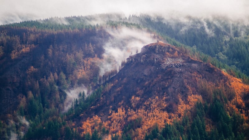
Oregon state officials have released a first look at how severely soil was burned by the massive wildfire in the Columbia River Gorge.
The fire is currently 47 percent contained, and officials say it no longer poses a significant threat to homes, the highway or public safety. It won't be out, however, until rain and snow naturally extinguishes it.
The Burned Area Emergency Response Team assesses the fire impact on public safety and natural resources. They released a Soil Burn Severity map yesterday to show high-risk areas for landslides, runoff, erosion and flooding.

The Burned Area Emergency Response Team (BAER) has released the Eagle Creek Fire Soil Burn Severity Map. pic.twitter.com/imGgFamtPg
— Eagle Creek Fire '17 (@eaglecreekfire) October 5, 2017
The red areas indicate more intensely burned soils, while the the other end of the spectrum is green, to show the less intensely burned soils. According to Eagle Creek Fire spokesperson Allen Lebovitz, the red areas indicate where the fire was "burning really hot and burning off a lot of the organic material, which often changes the physical characteristics of the soil," he tells WW.
Lebovitz says fires can leave those severely burned areas hydrophobic, which means they don't absorb water, which can cause the potential for flooding and landslides, at least in the short-term.
"It's not a long term predictive process," Lebovitz says.
To create the map, the team used Burned Area Reflective Classification, a modeling tool that compares satellite images of what the ground looked like before and after the fire.
The Burned Area Emergency Response Team will release a final report in the coming weeks.