Difficulty: Parks Scare Me to Dirty Boots (depending on how far you go) Directions: From Portland, take Highway 26 east for about 70 miles, then turn right onto Road 42. Take another right at Road 4280 and continue to either the Oak Fork, Gone Creek or Hoodview campground launch areas.
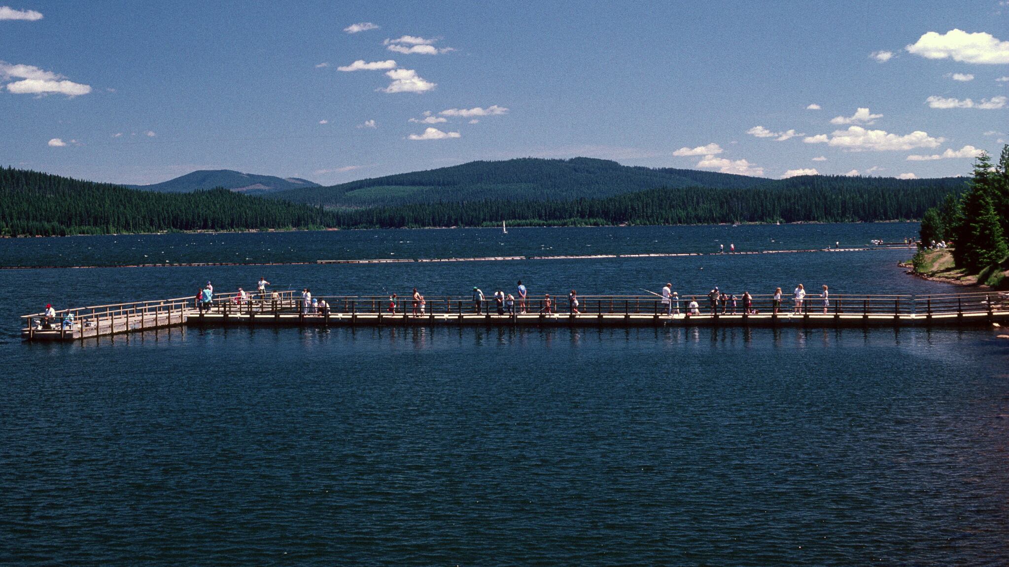
A pristine lake in the middle of the forest with a Cascade peak in the background is a scene that’s never going to disappoint. On the southwest side of Mount Hood, Timothy Lake, formed as a result of the Timothy Lake Dam, is nonetheless a great place to paddle. There are just over 2 square miles of water to explore and several fetching lunch spots.
From any launch point, it’s entirely a choose-your-own-adventure kind of affair. There are, however, some high points you’ll probably want to check out. If you make your way clockwise around the lake, views of Mount Hood open up nicely. Passing by the Timothy Lake Dam in the southwest corner of the lake, continue paddling toward the jutting prominence known as Meditation Point. Just west of there is the ideal place to pause for lunch or set up camp. Past the little peninsula, the lake bends into an arm that begs to be explored. The waterway goes back pretty far and narrows along the way. If you paddle in far enough, you eventually reach a couple of creeks that feed the lake. Don’t get stuck.