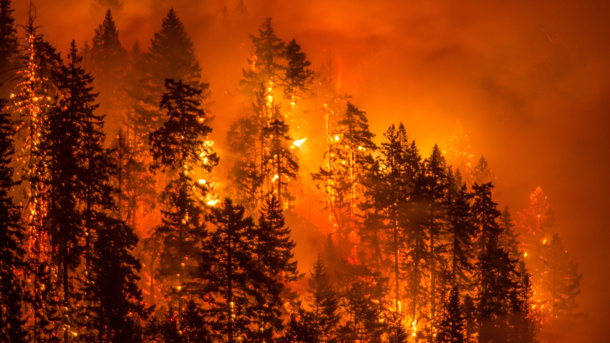
Increasingly hot, dry summers are making massive wildfires the new normal in the Pacific Northwest.
Currently, according to the National Interagency Fire Center, there are 16 fires burning in Oregon, totally roughly 151,603 acres. And NIFC predicts that number could increase in the coming months.
A new map shows the Pacific Northwest, including the entire state of Oregon, is currently at "above normal" risk for wildfires. It was first locally reported this week by The Oregonian.

"August is the peak month for fire activity across the West," NIFC's report on wildfire potential in the U.S. reads. "Given the amount of lightning received along with preexisting heavy fuel loading and dryness, a very active month is expected with Above Normal significant wildland fire potential likely across portions of the Pacific Northwest."
The report adds that September rains normally help contain the region's fires, but because this summer has been exceptionally dry, fall wildfires "may very well be robust across portions of the state."
According to NIFC's map, portions of Texas are the only other U.S. region outside of the Pacific Northwest to be at above average risk for wildfires. In lower portions of the East Coast, where NIFC reports below average temperatures and above average precipitation, fire risks are lowest.
The fires have already had an impact on daily life in Oregon, as smoke drifted across the Willamette Valley and choked places like Sunriver last week.
Related: As Portland Bakes, Smoke From Massive California Wildfire Drifts North Into the Willamette Valley