An overnight snowstorm that alarmed Portlanders arrived with wildly varying severity across the city overnight. In some places, it didn't arrive at all.
But forecasters warn that the snow will arrive in bands over the next few days, and people shouldn't assume the wintry weather has passed.
The National Weather Service reports that large segments of the metro region—especially outer Northeast Portland, Gresham and Troutdale—saw heavy snowfall. The Weather Service's office in Parkrose received 4.2 inches; parts of Gresham saw 6 inches. (Out in the Columbia River Gorge, the Bonneville Dam recorded a foot of snow overnight.)
So who wants to build a snowman?? ❄ ⛄ ❄ #PDXSnowpocalypse2019 #kgwweather #pdxtst #koinsnow #SaturdayMorning #snowpocalypse2019 #snow #portland #pdx pic.twitter.com/OXzrSa5FZH
— The Unipiper (@TheUnipiper) February 9, 2019
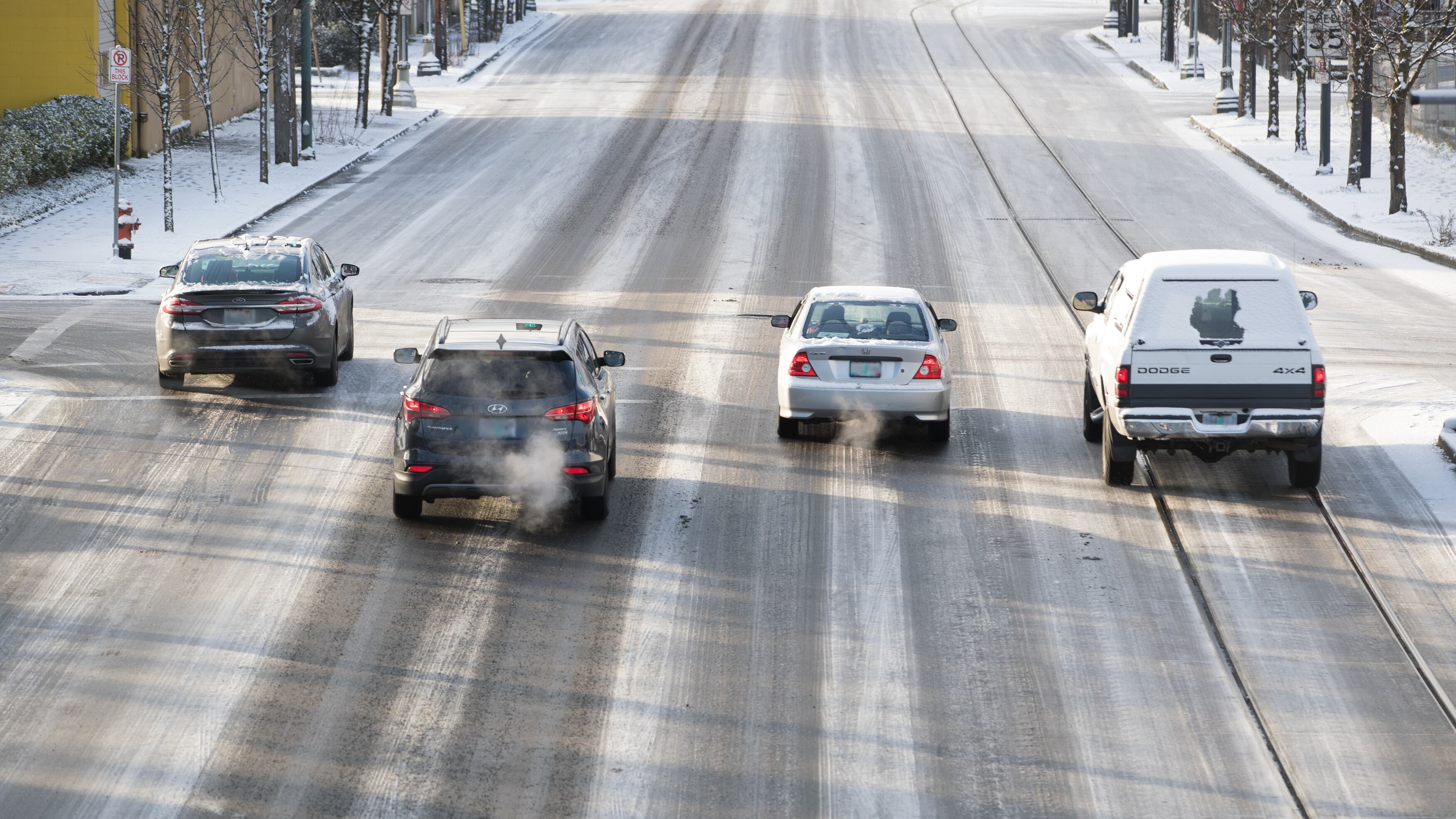
But the frosting in downtown and the southwestern suburbs, including much of Washington County, was anemic. The National Weather Service recorded 2 inches of snow in downtown Portland, but little of that seemed to stick.
The boundaries of the storm could be traced simply by looking at Google's road congestion maps, which recorded where powder snarled traffic.
Snow Storm in Portland Delivers, But West & South Metro = No Sledding https://t.co/w1FoNSI1Pn pic.twitter.com/mSqz0FKSnz
— Rob (@WeathermanRob) February 9, 2019
The snowfall paled in comparison to Seattle's weather. For Portlanders who had stripped grocery shelves of most fresh produce last night, this morning's weather occasioned self-mockery, along with side-eyeing of forecasters and dire headlines (this newspaper included).
They tried to tell us this was going to be the biggest snowstorm in a century... y’all tell me #Portlandsnow pic.twitter.com/KZi36962wx
— G.P. (@PaanyeWest) February 9, 2019
But new bands of snow are already moving into the city, and the most dire prediction—of storms bringing as much as 18 inches to the Willamette Valley and setting 20-year records for the Pacific Northwest as a whole—isn't supposed to arrive until Monday.
Don't throw out your kale supply yet.