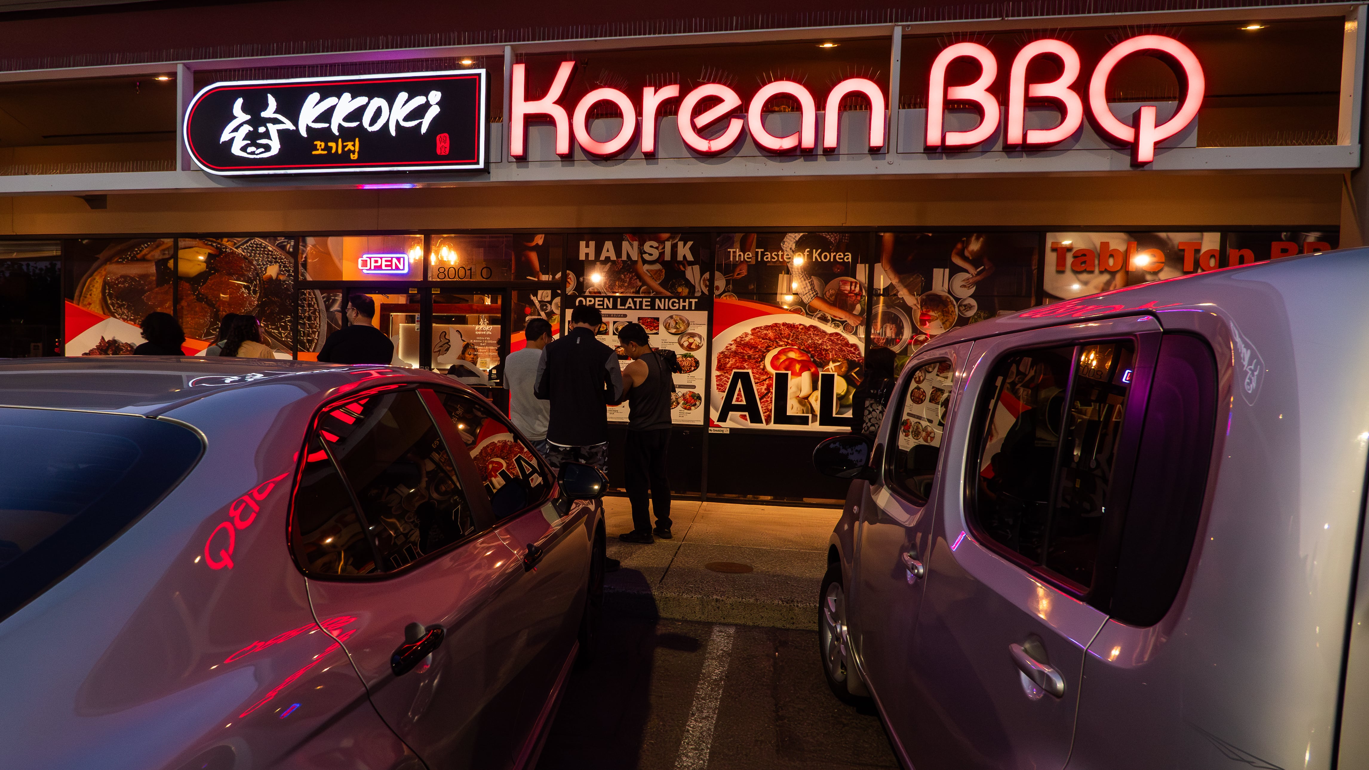
Last week, thousands of Portlanders received a confusing postcard. The mailer showed three maps, and asked for voters to share their thoughts. Many recipients were confused by what exactly City Hall wanted their opinion about.
The maps showed Portland’s possible geographic voting districts. Come 2024, the city will have four such districts, and voters will use ranked-choice voting to select three city councilors from each district. The question at hand: Where will the boundaries between these districts fall?
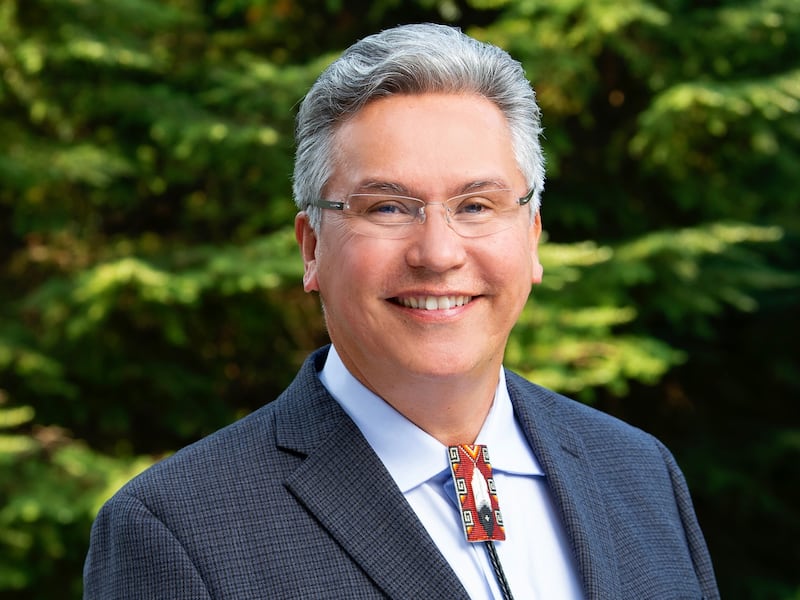
As it happens, WW recently spoke to one of the people who helped decide the possible shapes of those voting districts. His name is Paul Lumley, and this week he starts a new job as director of Cascade AIDS Project. Before taking the new job, he was CEO of the Native American Youth and Family Center. Much of that conversation was focused on Lumley growing up two-spirit on the Yakama Reservation.
But we also talked about a different kind of representation: assuring that communities of color get seats on the new, 12-member City Council. Lumley is one of the volunteers on the Independent District Commission, a 13-member panel appointed by Mayor Ted Wheeler and confirmed by the Portland City Council. It has produced three maps. In the coming week, it’s holding four public hearings to get feedback on those maps.
We asked Lumley which one he likes best. The conversation has been edited for clarity and brevity.
WW: How’s it going on the Independent District Commission?
Paul Lumley: You know, I’m not quite sure why I did this [laughs]. Well, I can tell you why I did this, but I didn’t think it was going to be this much work. There was a huge concern that we weren’t going to have people of color on the districting commission. And we were worried about, especially east of 205, that it was going to be the same old white men politicians.
I was looking at the criteria [for the districts] and it was all very clear. It was geographic boundaries, other voting districts, the boundaries for neighborhood districts, census tracts. These are all very clearly defined things that you can look at. But you don’t get that with looking at “communities of common interest.” That is not defined anywhere. And that’s one of the criteria.
Because of my background with the communities of color here in the Portland area, I thought, OK, well this is where maybe I should be helping. That’s why I got involved to begin with.
All three of these maps I feel really good about. I feel like they really protected our communities of common interest. No map is going to be perfect, but these are pretty good maps. One might be better than the others.
Is it against the rules for you to say which map you like best?
I don’t think it’s against the rules, but I’m not going tell you. Oh, no.
Let me ask the question another way. How do these maps preserve communities of common interest? Did you figure out where people of color are living and go from there?
Yes. There’s census data that shows where different communities of color live. But really, you have to look at more than where they’re living, but what their interests are.
With the African American community, they were pushed out [of the Albina neighborhood], but they’re still connected to that land and that space. Just because people aren’t living in an area doesn’t mean they don’t have an interest in it. There were some maps that divided up Lloyd Center [from outer Northeast Portland], put that in a different district. So I was able to bring that information back to the commission. And then eventually we got some direct testimony from the African American community.
Another example is the Jade District. There are so many maps that use 82nd Avenue as a dividing line, and that divides Jade District in half. And that’s the current home of most of Portland’s Asian community. So we started working with the Asian Pacific American Network of Oregon quite a bit. They studied it. And they came back and said that they actually wanted to use 82nd Avenue as a dividing line. They felt like, if they were divided down 82nd Avenue, then they would have more elected officials to advocate for them.
Were there any points of conflict?
One set of maps had the east district divided in two—and it went closer to the Willamette River. It was divided north and south. They said, “Look, you’re going to get six [city councilors]. And I said, “What if all of our elected officials live near Mount Tabor, or the Irvington area, where most of our elected come from anyway. You’re saying they might get six out there. I don’t think that’s going to happen. We get a zero out there.”
There were some, concerns about where to jump the Willamette River. There’s not enough population west of the Willamette River [to produce a district with equal population]. So we have to cross the Willamette River somewhere. When you look at the maps, that’s the differences. That shows also where we need the public to get involved. If we reached agreement on that, we would probably just produce one map for you to comment on.
I won’t ask you if you have a preference because you told me you weren’t going to tell me.
I have a strong preference.
But you’re not going to tell me what it is?
I’d be happy with any of them because my primary goal was to make sure that communities of common interest, people of color, communities and their history and their future were protected. And I feel really successful already. That part I feel good about. I could go with all three of them. I have a slight preference for one, but they all look really good to me.