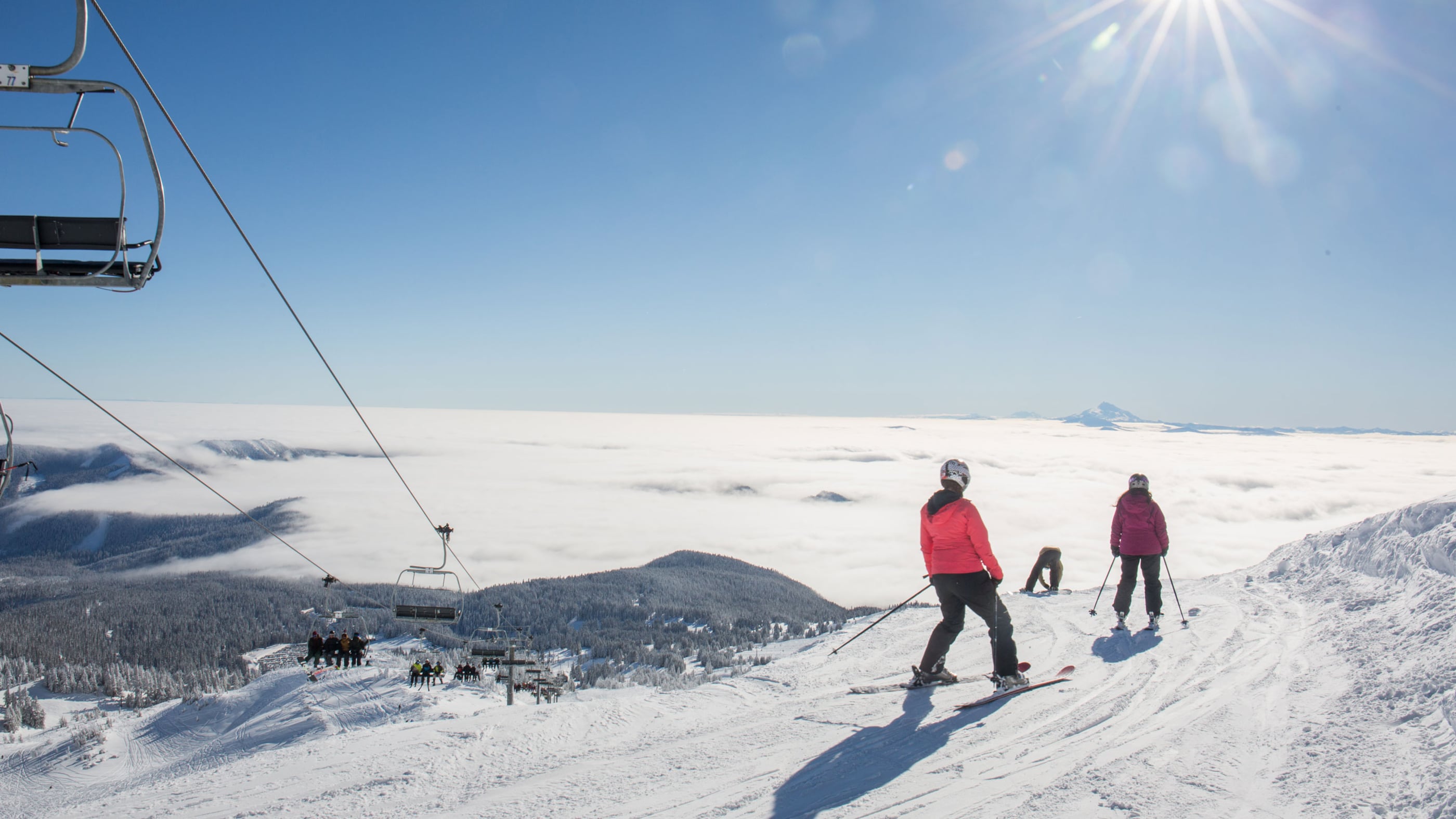
Snowfall might be skipping Portland, but more than seven feet of powder has accumulated on Mount Hood in the last week.
Snow depths at lower elevations on Mount Hood have increased from 38 inches to 90 inches during the last eight days, and at higher elevations from 43 inches to 109 inches, according to the National Weather Service of Portland.
In the last 8 days, the settled snow depth at 5380' on the side of Mt Hood has gone from 38" to 90". A little higher on the mountain at 5900' it has gone from 43" to 109". Water content is still below average, but a lot of ground has been made up. #pdxtst #orwx
— NWS Portland (@NWSPortland) January 14, 2020
With the heavy snowfall, the agency also warns of increased avalanche threats.
"It may not be a bad idea to buddy up if you plan to ski or snowboard in the coming days as tree well close calls and tree well deaths often occur in the days following these big storm cycles," the agency tweeted yesterday.
The Northwest Avalanche Center ranks the current avalanche danger on Mt. Hood at "considerable," at above, below and near treeline.
"Dangerous avalanche conditions persist as Mt. Hood continues to see significant amounts of new snow and wind daily," the center wrote on its website. "Choose lower angled slopes and avoid lingering in canyons connected to large avalanche slopes on the upper mountain."
Andy Bryant, a hydrologist with the NWS, says the avalanche danger is due to "a combination of new snow and periods of windy conditions."
Meanwhile, Bryant adds that, in the metro area, the chance for snow overnight has decreased.
"Temperatures are going to be right on the edge of being able to get snow," Bryant says. "We may get some snow during the day and it may transition to rain by the evening. It's still dicey."