Things have seemed particularly bad for awhile, huh?
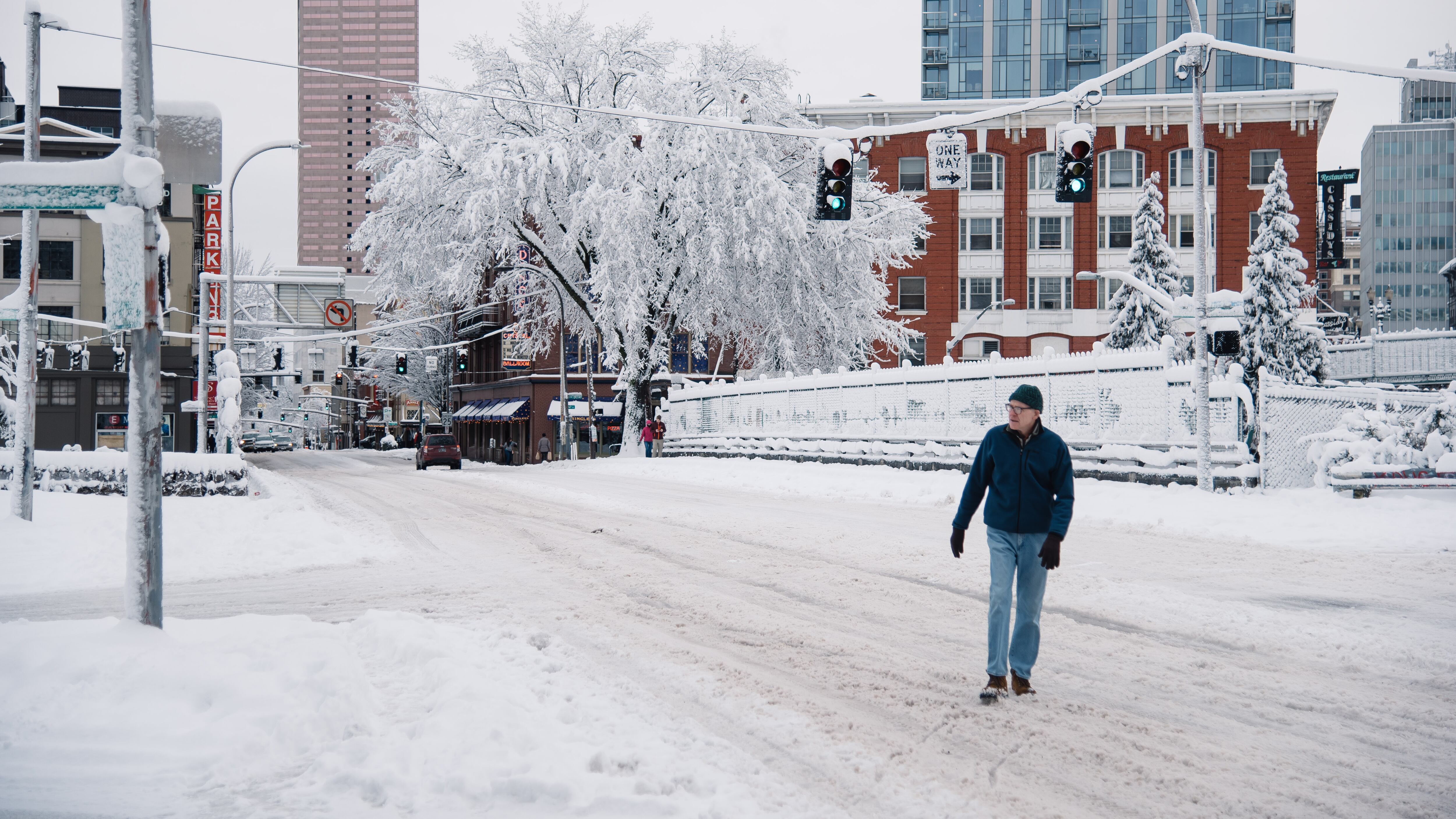
Last Wednesday, Governor Kate Brown declared Oregon to be in a state of emergency due to the record-breaking snowfall. Seattle sent 11 snow plows to help clear roads and fallen trees in Portland. Multnomah County homeless shelters were 45 percent over capacity, relying on the generosity of other organizations to help house the more than 1,800 people needing a bed for the night.
The last time Portland had a full day above freezing was Dec. 29, according to the National Weather Service.
We got up to 33 on Thursday for a high, but the last time that a full day stayed above freezing (high and low) was December 29th. https://t.co/uU9DkVgqj7
— NWS Portland (@NWSPortland) January 14, 2017
This week, after 15 days, the city will finally break the freezing streak.
Which is great—only, it could mean flooding.
Though we saw heavy rains last year, Portland hasn't severely flooded since 1996, when the water almost rose to the deck of the Hawthorne Bridge.
Those conditions were similar: Heavy rains melted a large snowpack, and Mayor Vera Katz called on city workers and volunteers to build a bulwark along the seawall.
However, the National Weather Service says it's too early to say if we'll need sandbags.
"At this point it would be premature to say we're expecting widespread flooding on the Willamette or the Columbia," says meteorologist Matthew Cullen. "There's the opportunity for urban flooding to occur. Any time you get heavy rain, that's possible, but at this point we're not expecting widespread flooding to occur."
He says that areas that usually tend to be more flood-prone, such as Johnson Creek, are more likely to see an rising waters, but it's not a sure thing.
Portland Fire & Rescue is trying to clear homeless camps out of the Johnson Creek area this weekend, fearing the residents could drown.

But it is supposed to get a lot warmer.
Cullen says that by Tuesday, the snow should hopefully be mostly thawed.
"On Tuesday, it will be much warmer: about 48. It will feel very warm compared to the last couple days," says Cullen. "Sometime late morning or midday Monday, we're forecasting staying above freezing through next Saturday."
After 15 days of not having a low above freezing, 48 sounds like a tropical paradise.

And much like a tropical paradise, the coast could be seeing heavy rains.
While Portland is expected to see 2-3 inches, Cullen says the Coast Range is expected to see the highest amounts of rain: Between 4 and 5 inches looks possible.
"Right now, our biggest concern is confined to a lot of the rivers that drain out of the Coast Range. They'll be the ones that get heavy rains on top of the snow," he says.
Cullen says that while snowmelt is a contributing factor to flooding, the amount of rain tends to be a larger factor.
"The areas of the heaviest rain will be more impacted than just where the snow is now," he says.