Urban planners have lauded Portland for lots of things over the years: short city blocks, the preservation of Forest Park, extensive mass transit, plentiful bike lanes.
River Relaunch
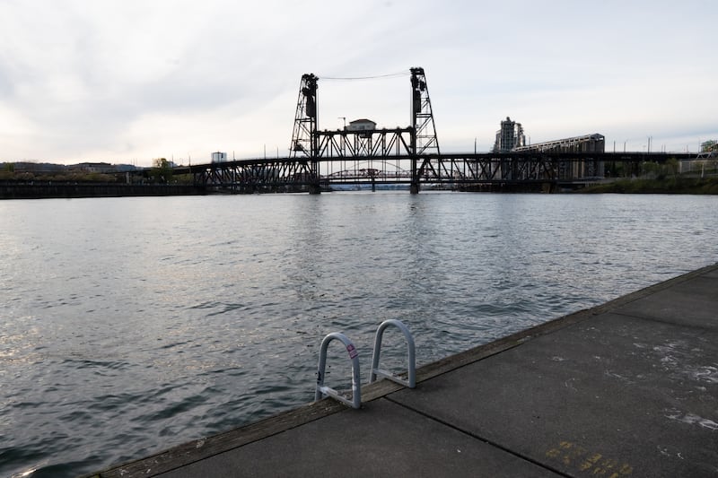
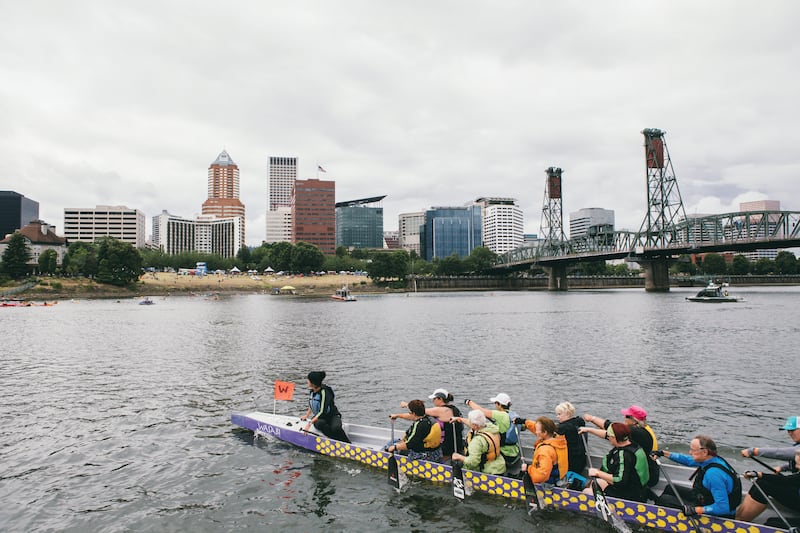
Few, though, have said nice things about the Portland riverfront. Sure, Tom McCall Waterfront Park is pleasant, and it’s a huge improvement over Harbor Drive, which ran along the west bank of the Willamette River until 1974. But the seawall below it, built in the 1920s to protect the city from flooding, looms like a castle wall, turning the river into a moat.
As a result, many people don’t visit that stretch of river unless the cherry trees are blooming, or there’s a beer festival or Rose Festival rides and vendors selling elotes.
An attractive riverfront can turn a gritty, second-tier city into a vibrant destination. Sections of San Antonio’s Paseo del Rio look like the canals of Venice. Providence, R.I., liberated its river in the 1980s by removing the Crawford Street Bridge, a bloated asphalt cap—and 30 years later, moved the Interstate 195 freeway downriver and turned the highway’s bridge into a pedestrian crossing that lights up blue at night. Even Indianapolis turned a half-built canal from the 1830s into a 3-mile loop plied by gondolas.
It gets worse. Vancouver, Wash., often ridiculed by Stumptowners, dropped the mic in 2018 when it opened Vancouver Waterfront Park, a $1.3 billion collection of greenspace, housing and retail. Portland had been shown up by its own suburb.
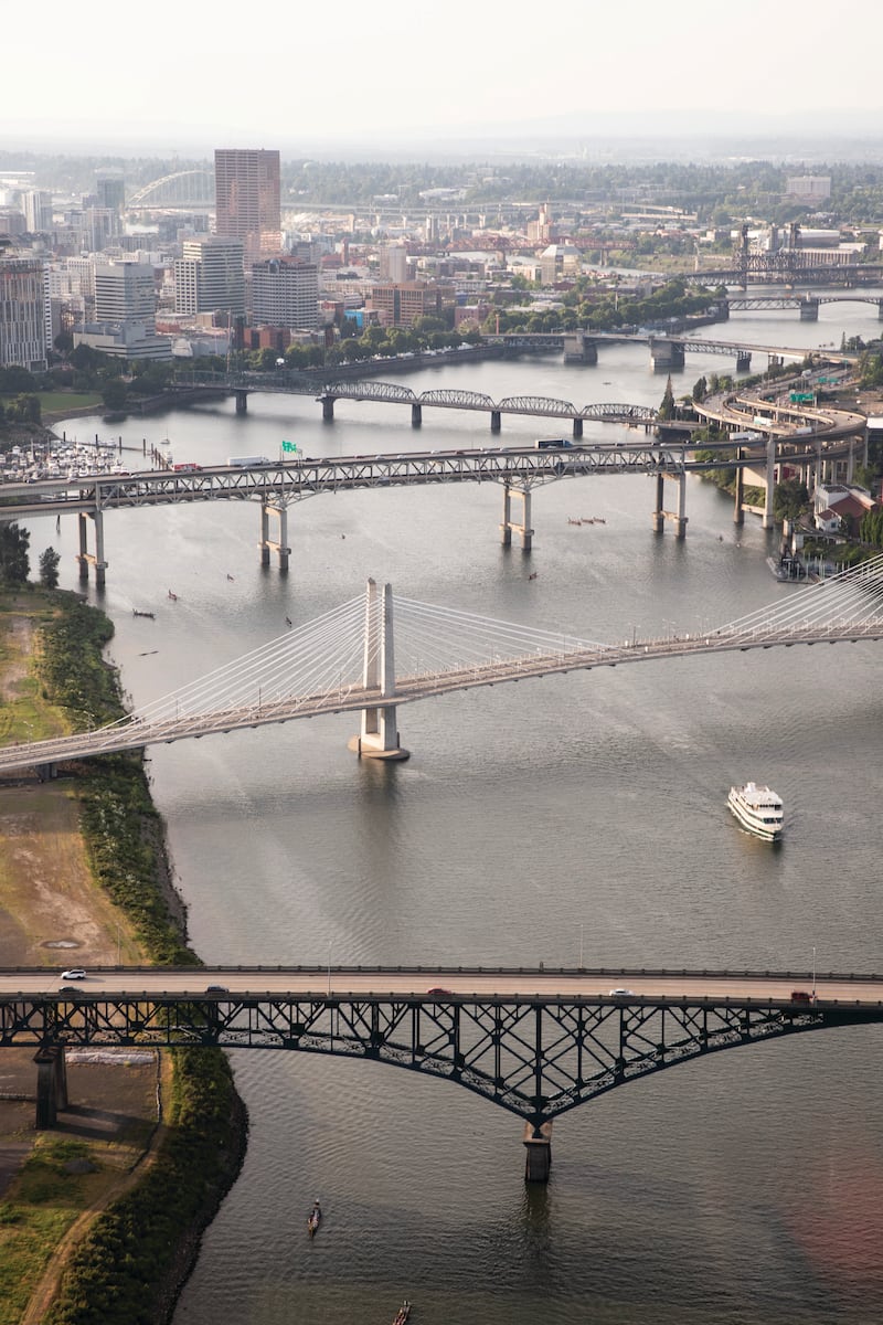
More’s the pity because the Willamette is a magnificent river, and as defining a feature to this city as volcanic cones. We’ve hymned the beauty of the waterway several times since 2000—with a River Issue, then a Bridges Issue—but always with the caveat that getting to the water remains something of a chore.
Civic leaders have talked for years about how to capitalize on the Willamette. At times, that talk has turned into action, as when former Mayor Vera Katz championed the Eastbank Esplanade, a lovely 1.5-mile walkway with a record-setting 1,200-foot section that floats. Sadly, Interstate 5 still roars above it, capping its charm and, so far, discouraging further development on the vacant lots nearby.
Interest in the river increased after the pandemic, when advocates began looking to it as a catalyst to revive an urban core gutted by a shift to remote work and rioters clashing with federal agents.
“The days of downtown being a healthy retail and office center are behind us,” says Randy Gragg, co-director of Design Portland. “We have to rethink it as a neighborhood.”
The way to revive downtown is to make it residential, Gragg says, and amenities along the river would attract residents. Design Portland has been holding a series of workshops on the transformation and have focused on two streets: Southwest Harvey Milk and Oak.
Powell’s Books, one of Portland’s biggest attractions, stands at the western end of those streets at Burnside, with the river at the eastern end. In between are lots of disused office buildings that could be used for housing. Anchor one end with a lively project on the river, and you could create a vibrant corridor, Gragg says. Something easy to get started: a playground in Tom McCall Park, or a barge floating just offshore with restaurants and bars.
“We’re trying to play the game fast with some strategic vision,” Gragg says.
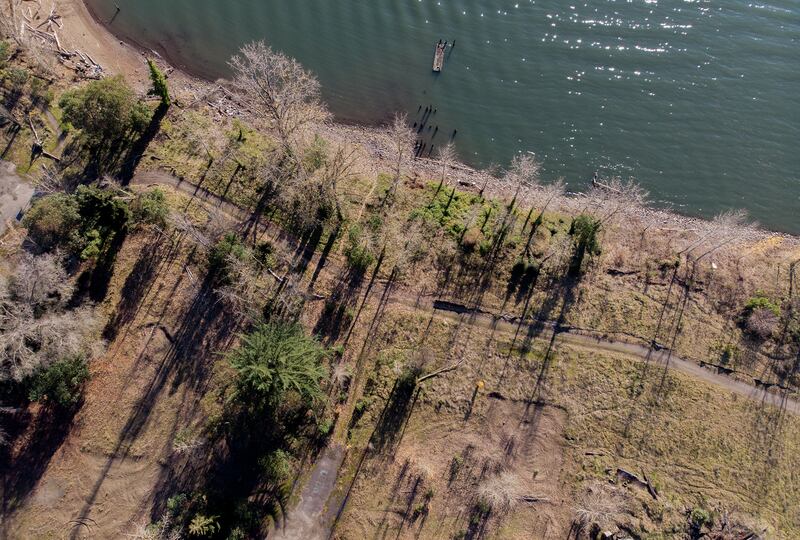
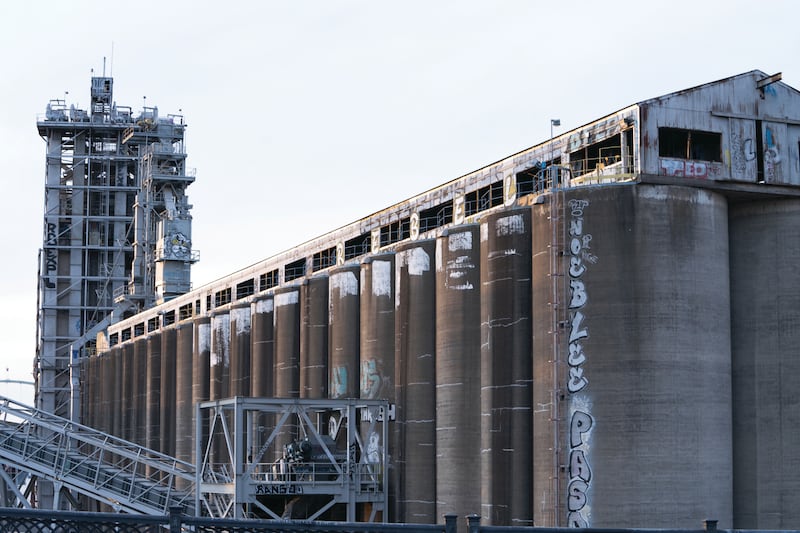
In the interest of getting the most return on one of Portland’s most underused assets, we decided to evaluate some of the projects that dreamers have pitched or built along the Willamette. Some are pie in the sky, like a botanical garden on the site of an old creosote plant in North Portland. Others are already operating, like Green Anchors, an artists’ collective near the St. Johns Bridge. We limited our focus to sites within city limits, and we tried to offer clear-eyed assessments of how feasible each idea really is, grading them on a scale of one inner tube (isn’t it pretty to think so) to 10 inner tubes (don your swim trunks).
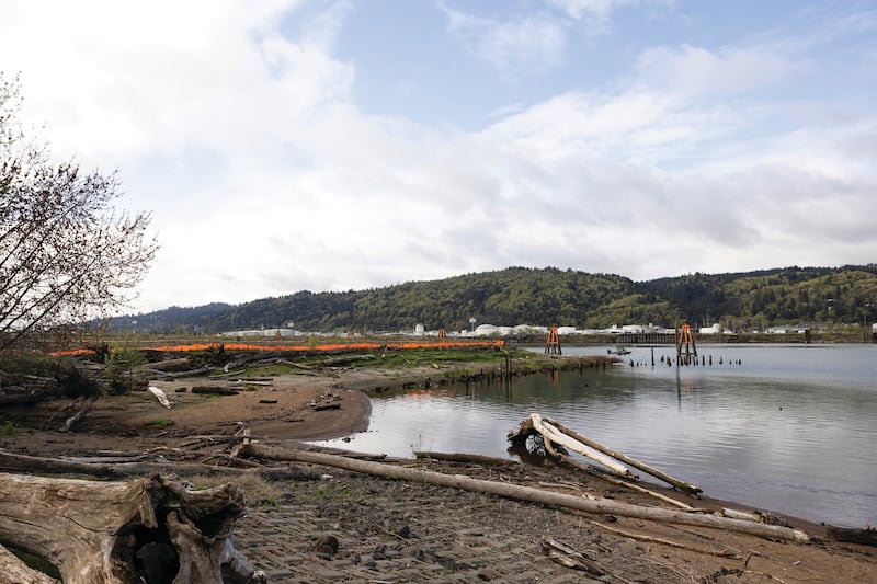
Many are contingent on cleaning up staggering messes left by industry back when people treated rivers like sewers, dumping chemical waste and sewage. It may have seemed to disappear, but we know now how much of it lodged in the river bottom, turning 10 miles of the Willamette, from the Broadway Bridge to Sauvie Island, into a Superfund site.
Cassie Cohen, executive director of the Portland Harbor Community Coalition, likes to point out that Portlanders have been unnaturally separated from their river by pollution dumped there by previous generations. When Cohen looks at the Willamette, she sees an opportunity to restore its natural habitats, ensure everyone gets access to the water, and even give shoreline back to the Indigenous people it was stolen from.
“It’s time for creative solutions,” Cohen says.
In the following pages, you’ll find eight of them. —Anthony Effinger