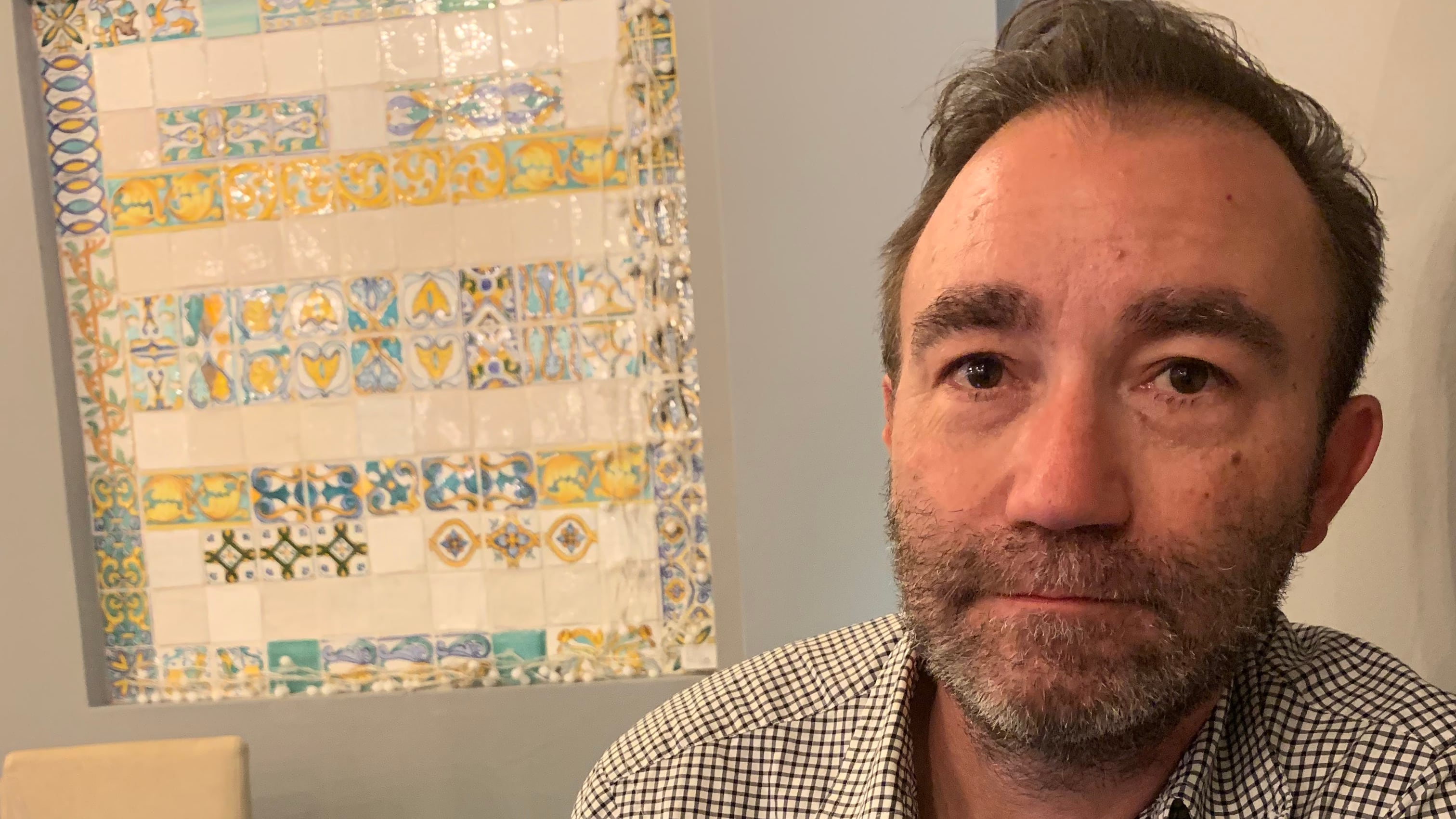
Whenever Mt. Hood erupts, Portland will be glad to have David George.
As a U.S. Geological Survey mathematician, George models landslides and lahars at the Cascades Volcano Observatory in Vancouver, Wash. (George lives in Portland.)
So what’s a lahar? When a volcano erupts, pressurized molten rock explodes through cracks in the mountain. Rolling clouds of ash and streams of lava might come to mind, but a lahar, a lesser-known phenomenon, is one of the most dangerous components of an eruption.
“It’s fluid, it’s sediment, rocks, even boulders, that can have high mobility,” George says. “So it flows much like a water flood, but it’s actually a mixture of solids and fluids.”
A big part of George’s job is using geological and physical data to model how these flows can play out. If he’s focusing on how a particular chunk of mountain would slide, George inputs information like the steepness of the slope and the kinds of rocks and sediments that compose the mountain into his model.
“It’s kind of like watching a movie of the resulting scenario,” he says.
George and his team plan to create debris-flow models for each peak in the Cascades. Their work on Mount Rainier underscored the threats an eruption would pose to Washington’s Puyallup Valley. They have made similar flow models for Mount Baker and are currently working on one for Mount Adams and the Three Sisters.
While most of the work happens in D-Claw, the modeling program George helped design, the USGS has another powerful tool: a 310-foot chute in Blue River, Ore., where it can observe how earth moves downhill.
Measuring deluges of sand, gravel, or rocks mixed with water helps George and his team improve their model and understand the mechanics of lahars.
For emergency planners, George’s simulations are invaluable. They can answer the most pressing risk management questions: How long do people have to evacuate? Where can they go to find safety?
George is excited that his model is getting more and more accurate, and that it continues to help prepare communities across the Pacific Northwest.
“I’ve been surprised how eager local stakeholders are for this type of information,” he says, “because emergency planners really need something to go on.”
See the rest of Willamette Week’s Best of Portland 2025 here!

