A strong snowstorm meteorologists call a "bomb cyclone" is moving over Southwest Oregon and could bring a light dusting of flakes to Portland later tonight.
The Oregon Department of Transportation is warning people to check weather alerts and road conditions before driving south tonight or tomorrow.
Sent from our Public Information Officer #inBend, "Things are starting to get sour out here." This was captured about 10 minutes ago on #SantiamPass at MP 77. We've got packed snow on the roadway. Stay up to date with conditions and alerts at https://t.co/SsqxkwGpZQ pic.twitter.com/utwVlcbmEl
— Oregon DOT (@OregonDOT) November 26, 2019
The National Weather Service Portland predicts heavy snowfall on the Santiam Pass, Willamette Pass and Government Camp.
Could we get more or less snow? Following are range of snowfall for a best case scenario (if storm stays more south, or snow levels do not lower as fast), most likely (current forecast), and the worst case (if storm comes more north than expected-low chance). #orwx #pdxtst #wawx pic.twitter.com/VOsmkIP9Hr
— NWS Portland (@NWSPortland) November 26, 2019
Wind gusts and heavy snow fall are also expected to create white-out conditions over the Cascades Tuesday night through Wednesday.
Traveling over the Cascades? Might leave a bit earlier, or delay til later Wed. One to 2 feet of snow in Cascades, heaviest Santiam Pass southward. Gust winds will create white-out conditions. Snow likely to valley floor Tue night. Map shows snowfall Tue to Wed am. #orwx #pdxtst pic.twitter.com/qJzqrjLCKs
— NWS Portland (@NWSPortland) November 25, 2019
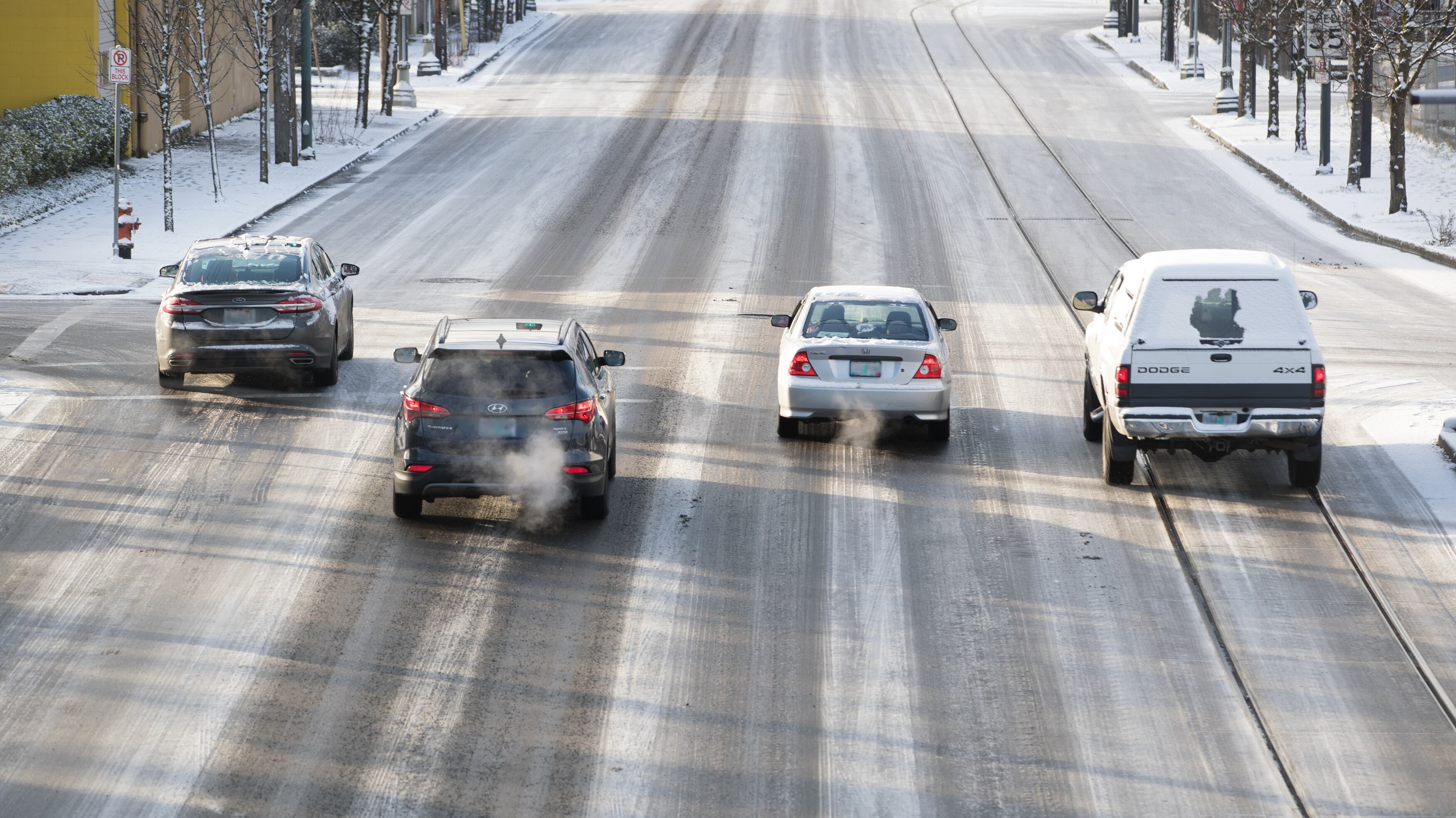
In Portland, the chance of snow tonight is much less likely than in other parts of the state. NWS predicts that if snow does fall, it will be less than an inch of accumulation. But the Portland Bureau of Transportation is cautioning people to be prepared for icy conditions overnight and tomorrow.
Are you prepared for whatever winter brings us, Portland? Now is a great time to make sure you have chains (and know how to use them), have an emergency kit for your car, & a snow shovel and ice melt to clear your sidewalks. Visit https://t.co/6XCKYKo4Ld for more tips. #pdxtst https://t.co/WcyyMlwbBw
— Portland Bureau of Transportation (@PBOTinfo) November 26, 2019
With possible winter weather in the forecast overnight, plan extra time & check https://t.co/4lg5hMH5mX before you go. Some bus lines may be affected by snow or ice. Dress warmly and use caution getting to and from your bus or train. For tips, please visit https://t.co/oEir9BRXnT
— TriMet Service Alerts (@trimetalerts) November 26, 2019